
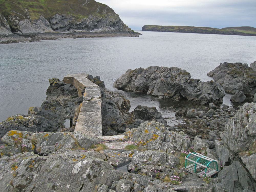
Lamigo Bay
Latitude: 58° 32'N
Longitude: 04° 19'W
Country: Scotland
Type: Unknown
Usage: Fishing
About Lamigo Bay
This narrow concerete pier on the east side of the bay is used by a creel fisherman. Access to the pier is by a footpath from the last house in the tiny hamlet of Lamigo.Return to Area Map