
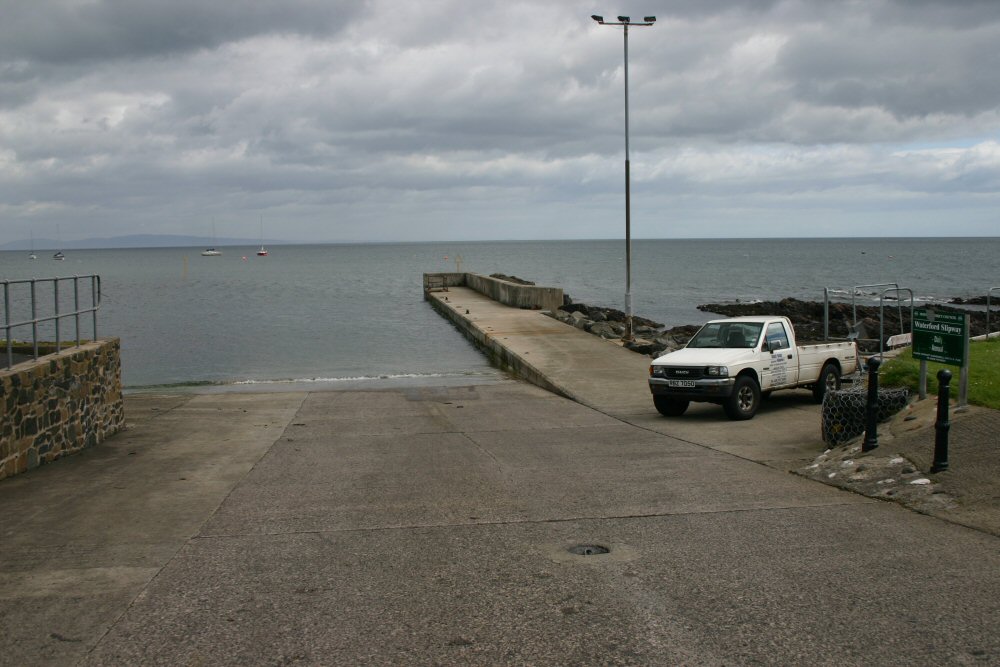
Cushendall
Latitude: 55° 05'N
Longitude: 06° 03'W
Country: N. Ireland
Ownership: Moyle District Council
Type: Municipal
Usage: Leisure, Fishing
Contact name: John Morton, Harbour Marina Supervisor
Telephone no: 02820 768525
E-mail: ballycastlemarina@moyle-council.org
About Cushendall
Cushendall lies at the heart of the Glens of Antrim on the shores of the sea of Moyle between the towns of Carnlough and Cushendun. The area's natural beauty was officially confirmed when it was designated as an Area of Outstanding Natural Beauty (AONB).It offers good diving and yachting facilities. Its small and lively harbour, known locally as the Waterford Slipway, together with the R.N.L.I lifeboat house and caravan camping site, is situated with beautiful views of north and south headlands and on a clear day Scotland and some of its western islands are also visible. This area is a popular place for fishing, picnics, sailing and water-sports.
Return to Area Map