
Image © The Port of Dumfries Development Group
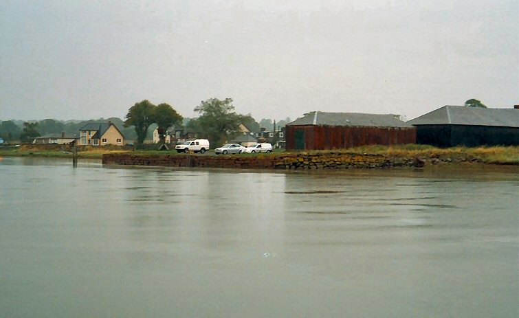
Glencaple
Latitude: 55° 00'N
Longitude: 03° 33'W
Country: Scotland
About Glencaple
Glencaple was once a busy port on the River Nith five miles from Dumfries with quays from which ships sailed to America and the West Indies.In 1746, the Earl of Nithsdale gave land at Glencaple for an outport, and stone from his quarries at Bankend in return for free passage for his goods over the toll bridge at Dumfries.
The early 1800s saw a tremendous amount of emigration to the colonies from Dumfries, particularly Canada, and newspaper advertisements show emigrant ships sailing regularly from Glencaple and Carsethorn returning with timber and salt fish. The large sailing vessels would lay up at Glencaple during the winter months.
The twentieth century saw an almost complete decline of the shipping trade in this area. The Great War brought the port of Dumfries to a virtual standstill and the Second World War completed the process.
Return to Former Harbours Map