
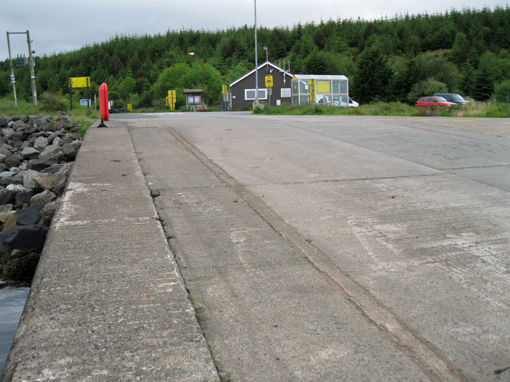
Fishnish
Latitude: 56° 30'N
Longitude: 05° 48'W
Country: Scotland
Ownership: Caledonian Maritime Assets Ltd (CMal)
Type: Private
Usage: Commercial, Ferry Terminal
Website: www.shipsofcalmac.co.uk/t...rminals=25
About Fishnish
Fishnish is at the far side of the Sound of Mull from Lochaline.The ferry used between Lochaline and Fishnish is the MV Loch Fyne, built in Port Glasgow in 1991. It can accommodate 36 cars and 150 passengers, and while it has passenger facilities including a lounge, the crossing is so short (15 minutes) few passengers make use of them. It was perhaps better known as one of the ferries displaced by the building of the Skye Bridge.
Return to Area Map