
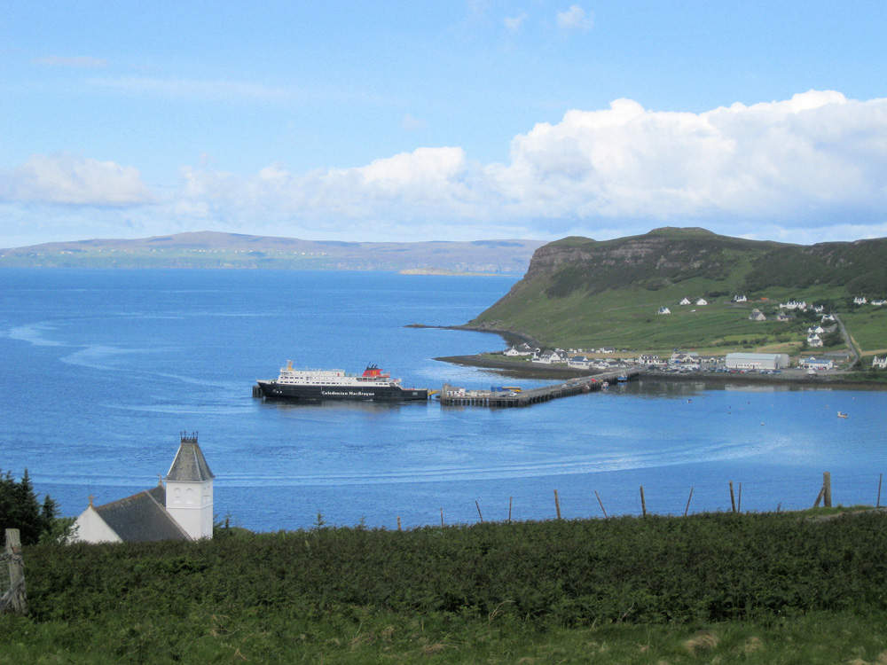
Uig
Latitude: 57° 35'N
Longitude: 06° 21'W
Country: Scotland
Ownership: Highland Council
Type: Municipal
Usage: Leisure, Fishing, Commercial, Ferry Terminal
Contact name: Mr Colin Alston, Portree Harbour Master
Telephone no: 01478 612926
Website: www.shipsofcalmac.co.uk/t...erminals=7
About Uig
Uig is the largest settlement on Trotternish, the most northerly of the collection of peninsulas that grow together to form the Isle of Skye. In 1840 a pier was built to serve the steamers that provided regular services to Tarbert on Harris and elsewhere in North West Scotland.Daily ferries run to the Western Isles, Lochmaddy on North Uist and Tarbert on Harris. The steamers were replaced by a car ferry in 1961, and a terminus was built on the north side of Uig Bay. The long pier that projects into the bay serves the ferry and is also used as a base for local fishing vessels.
Return to Area Map