
Crail
Latitude: 56° 15'N
Longitude: 02° 37'W
Country: Scotland
Ownership: Fife Council
Type: Municipal
Usage: Leisure, Fishing
Contact name: Mr Tom Smith, Harbourmaster (Part-time)
Address: Shoregate, Crail, Anstruther, KY10 3SU
Telephone no: 01333 450820
E-mail: tom.smith1942@hotmail.com
Website: www.fife.gov.uk/atoz/inde...4A014455C3
About Crail
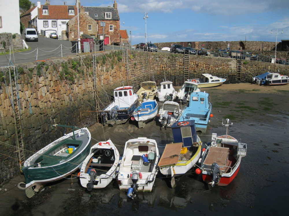
Crail, the most easterly village of the East Neuk of Fife, is also its most ancient Royal Burgh. Ten miles south east of St Andrews, it has one of the most photographed harbours in the whole of Scotland.The harbour is surrounded by white rendered and red stone cottages with pantile roofs, many having Flemish-inspired crow-stepped gables. Old trading links are reflected in much of the village architecture including the Dutch-style town house, whose bell, cast in 1520, has a Dutch inscription.
But this is also a working port, home to Fife's crab and lobster fleet, and though there are fewer boats than there used to be, visitors can still buy fresh lobster and shellfish from the harbourside.
Return to Area Map