
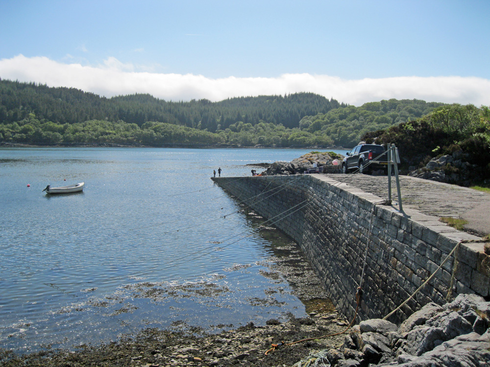
Kentra Bay
Latitude: 56° 46'N
Longitude: 05° 52'W
Country: Scotland
Type: Unknown
Usage: Leisure, Fishing
About Kentra Bay
Situated at the end of the B8044, three miles west of Acharacle, this jetty is used by local fishermen and other leisure users. It is a popular spot for kayakers and divers.Return to Area Map