
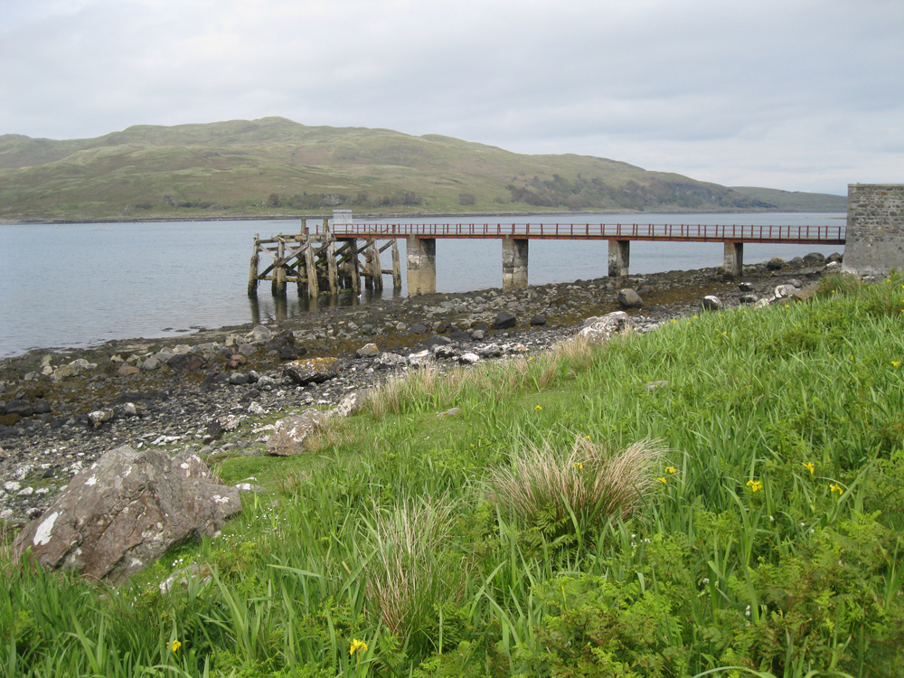
Croggan
Latitude: 56° 23'N
Longitude: 05° 43'W
Country: Scotland
About Croggan
Now fenced off with a padlocked gate, this pier in Loch Spelve was constructed in 1896. Apparently Queen Victoria had asked for it to be built. It is believed to have once been a scheduled stop for MacBrayne steamers visiting this remote part of Mull.Return to Former Harbours Map