
St David's
Latitude: 56° 02'N
Longitude: 03° 22'W
Country: Scotland
About St David's
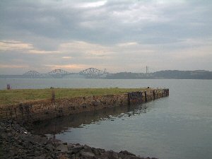
St David's Harbour was originally constructed in 1752 for the export of coal from Fordell. It took vessels up to 600 tonnes.The harbour became a scrap metal yard until the land was sold for housing development in the 1980s.
Return to Former Harbours Map