
Aberlady Bay
Latitude: 56° 00'N
Longitude: 02° 52'W
Country: Scotland
About Aberlady Bay
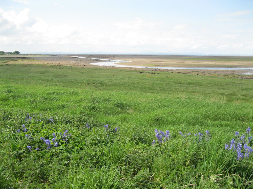
For hundreds of years, man has traded and travelled on this waterway, following its sheltered waters upstream. Aberlady Bay was once the official port of Haddington, and cargoes of fish, coal, grain, liquor, timber and building materials were shipped from here or transported inland.Towards Kilspindie Point, where the old Customs House still stands, the timber skeletrons of several boats can still be seen on the mudflats. Boats from the Cockenzie fishing fleet were beached here in the early 19th centrury at the request of the Earl of Weymss, allegedly to improve his view of the estuary, and other vessels have since been scuppered here.
Return to Former Harbours Map