
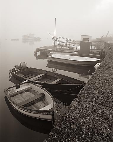
Keyhaven
Latitude: 50° 43'N
Longitude: 01° 33'W
Country: England
Type: Unknown
Usage: Leisure, Fishing, Ferry Terminal
About Keyhaven
Keyhaven, sheltered by Hurst Spit, was a small port by the 13th century, where salt was made and exported. The salt industry continued until the early years of the 19th century, when it was overtaken by competition from Cheshire.There is a passenger ferry service from Keyhaven to Hurst Castle. It operates during the summer and weekends during the winter, weather permitting.
Return to Area Map