
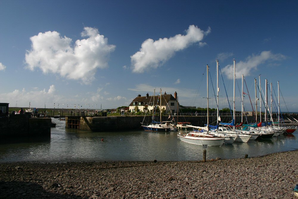
Porlock Weir
Latitude: 51° 13'N
Longitude: 03° 38'W
Country: England
Ownership: Porlock Manor Estate
Type: Private
Usage: Leisure, Fishing
About Porlock Weir
Porlock Weir, a little harbour a mile west of the main village, played a vital part in the life of eastern Exmoor over the centuries when the sea route was by far the easiest way to and from the area. The harbour was once used by coasters carrying timber to South Wales in exchange for coal. It is now full of leisure craft and the occasional small fishing vessel. The lock gates are now used mainly to flush pebbles from the harbour entrance, which cuts through the shingle ridge.Return to Area Map