
Image © Calum McRoberts (under Creative Commons licence)
Island Davaar
Latitude: 55° 26'N
Longitude: 05° 33'W
Country: Scotland
About Island Davaar
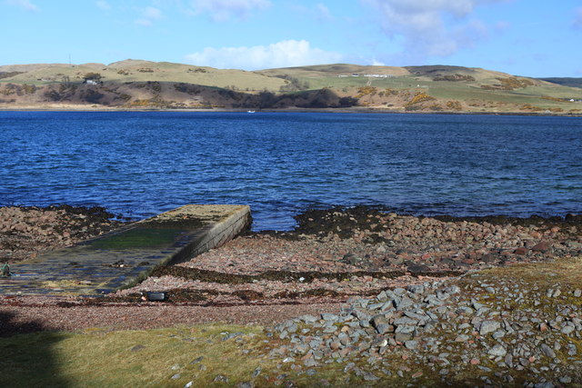
This jetty on the north side of Island Davaar was probably once used for supplying the nearby lighthouse. It is no longer in use.Return to Former Harbours Map