
Image © David Medcalf (under Creative Commons licence)
East Tarbet
Latitude: 54° 38'N
Longitude: 04° 53'W
Country: Scotland
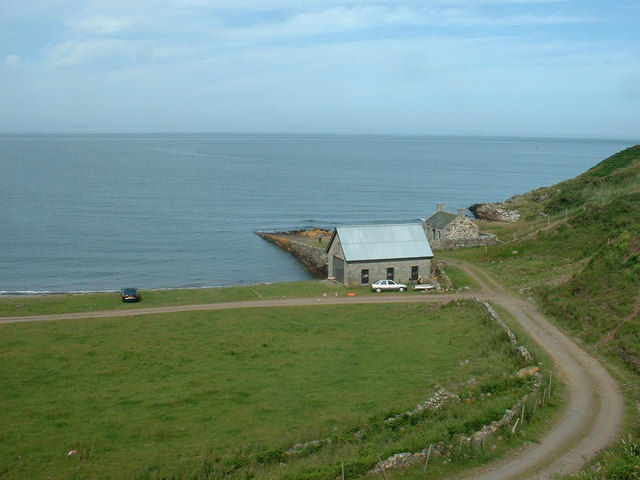
About East Tarbet
This quay is situated at the east side of the isthmus which separates the Mull of Galloway from the Rhinns. It is no longer used, except by the occasional fisherman.Return to Former Harbours Map