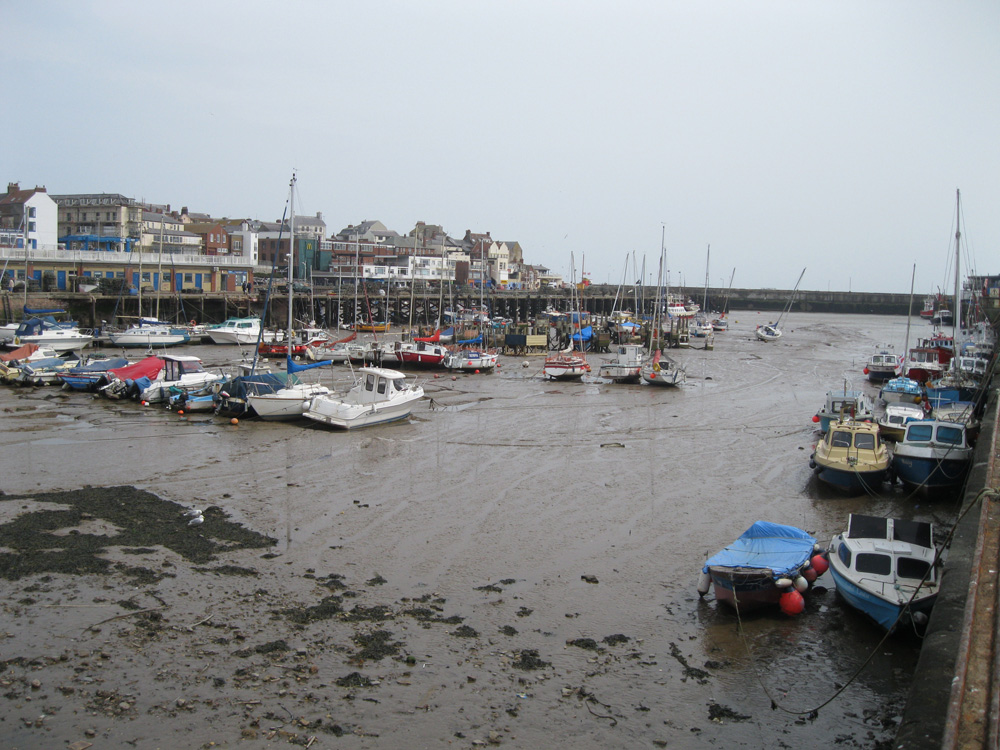
Bridlington
Latitude: 54° 05'N
Longitude: 00° 10'W
Country: England
Ownership: Bridlington Harbour Commissioners
Type: Trust
Usage: Leisure, Fishing
Contact name: Mr Chris Wright, Harbour Master & Chief Executive
Address: Harbour Office, Gummer's Wharf, Bridlington, YO15 2NR
Telephone no: 01262 670148
Website: www.eastriding.gov.uk/lei...rbour.html
About Bridlington
Located on the East Yorkshire coast Bridlington is a holiday resort and fishing port, near where Flamborough Head juts out into the North Sea. The sheltered Flamborough Head has become known as Bridlington Bay.Shipbuilding was carried out here in the 13th century, and in 1401 Henry IV ordered the Bailiffs of Bridlington to build a barge by Easter to convey men and stores to his army in Scotland.
In the 16th century grain was exported from Bridlington; a record dated 1500 AD in the Durham Bursar's Book shows that it was transported to Durham via Sunderland, and this was not an isolated case.
A Dundee smuggler from Bridlington Bay in 1731 let it be known that he was afraid of none of the King's sloops except the "Salamand"; the Admiralty took him at his word and ordered Captain Hutchinson of the Salamander to go on patrol in Bridlington Bay. The smuggler departed!
At the beginning of the 19th century the Harbour was at its busiest. In 1816 there were almost 80 grain ships in the year and there was a weekly ship to London. There were 145 Bridlington owned ships in 1820 and between 1829 and 1841 the number of voyages rose from 104 to 158. After the railway appeared the trade diminished rapidly and though the new stone piers were built steamships appeared and the Harbour trade dwindled.
The last Bridlington ship was built in 1843; by 1862 only 6 Bridlington ships were using the Harbour and between them made 44 voyages whilst by 1872 there were only 3 Bridlington ships left.
Nowadays a small fishing fleet operates from Bridlington, but the harbour is mostly full of leisure craft.
Return to Area Map


