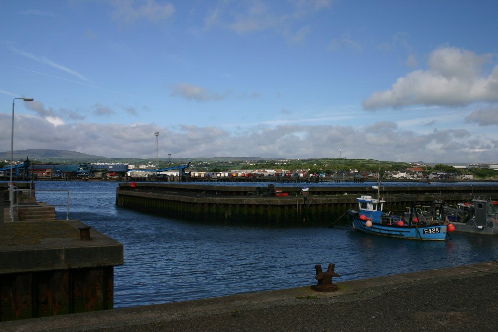
Ballylumford
Latitude: 54° 50'N
Longitude: 05° 46'W
Country: N. Ireland
Ownership: Larne District Council
Type: Municipal
Usage: Leisure, Fishing, Ferry Terminal
Contact name: Tom McKnight, Harbour Master
Telephone no: 07703 606763
About Ballylumford
Ballylumford with its power station (the provider of about half of Northern Ireland's electricity) lies opposite the town of Larne on the Islandmagee side of Larne Lough. A passenger ferry service runs between Larne and Ballylumford Harbour.The nearby power station jetty receives tankers with cargoes of oil.
The harbour at Ballylumford offers a number of moorings for leisure craft and small fishing vessels.
Return to Area Map


