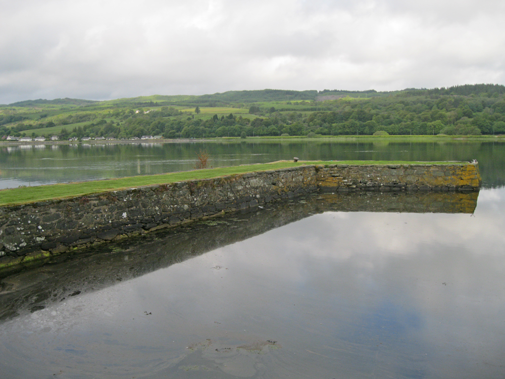
Lochgilphead
Latitude: 56° 01'N
Longitude: 05° 26'W
Country: Scotland
About Lochgilphead
Until the 19th century Lochgilphead was a small fishing village lying, as the name suggests, at the head of Loch Gilp, a short sea-loch leading north west from Loch Fyne. Lochgilphead's position became more important with the opening of the Crinan Canal in 1801. The Canal provides a short cut across the Kintyre peninsula and after passing down Lochgilphead's western side it meets Loch Fyne at Ardrishaig, two miles to the south.From 1819 Ardrishaig had a regular steamer connection to Glasgow, with an onward connection along the canal to Lochgilphead. In 1831 Lochgilphead acquired its own pier, which is no longer in use.
Return to Former Harbours Map


