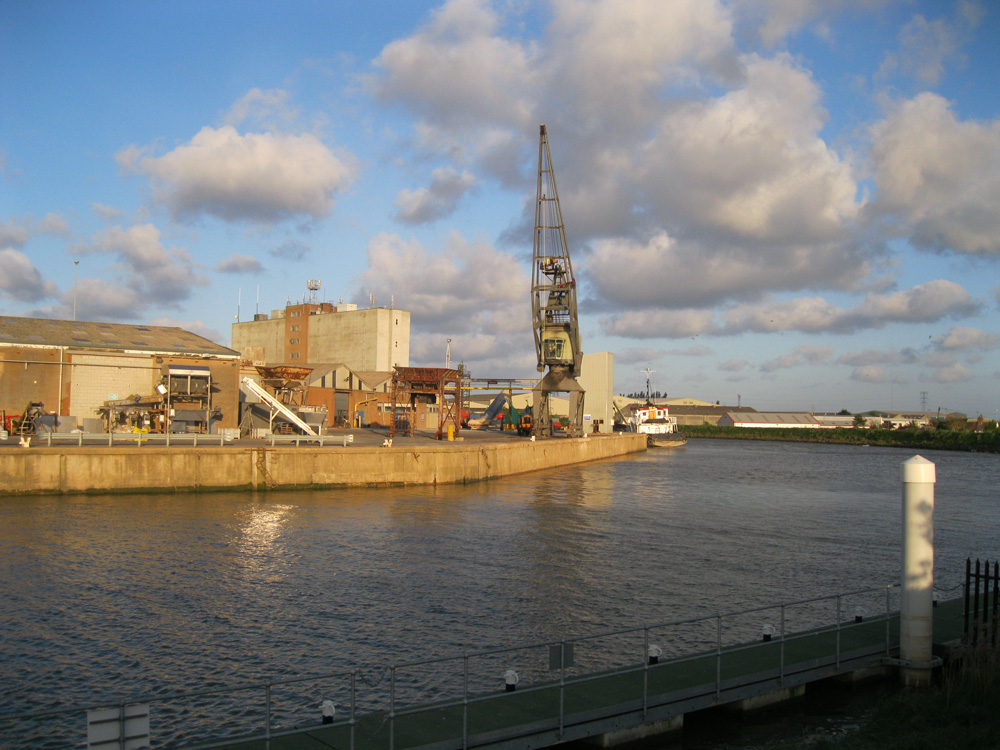
Boston
Latitude: 52° 58'N
Longitude: 00° 01'W
Country: England
Ownership: Victoria Group Ltd
Type: Private
Usage: Fishing, Commercial
Contact name: Andy Lawrence
Address: Dock Office, The Docks, Boston, Lincs, PE21 6BN
Telephone no: 01205 365571 / 07836 342905
E-mail: administrator@portofboston.co.uk
Website: www.portofboston.co.uk
About Boston
In the 12th century Boston became one of the main ports of medieval England, exporting wool from monastic and other estates, lead from Derbyshire and salt from the Lincolnshire coast. Imports included fine cloth, wine, furs, leather, spices and other luxury goods from Europe. International trade flourished; merchants of the Hanseatic League of ports came to dominate trade in the North Sea and Baltic, and about 1260 they built a local depot in Boston. By the 1280's a third of all wool exports from England went out of Boston and in 1300 nearly 2 million litres of wine came into the port.In time the canal linking Boston to the Midlands was silting up and when the Hundred Years War started with France in 1341 the wine trade was reduced. After 1430 the wool trade really slumped and 50 years later most of the Hanseatic merchants had stopped visiting Boston; the last one is said to have visited Boston in 1518. By this time Boston was a local port handling a wide variety of goods for Lincolnshire, in and out, but no major national imports or exports.
By 1750 the Witham was so shallow that few vessels could reach Boston. Soon, however, the effects of the Industrial and Agricultural Revolutions were to transform the fortunes of the town. In the 1760's the vast Holland Fen to the west of Boston started producing arable crops. This new produce had to be sent by water inland or around the coast to the centres of increasing population, and Boston became a rich boom town flourishing on the new trade.
During the Napoleonic Wars more of the fens around Boston were reclaimed and the coastal traffic of the port grew even greater. By 1848 it was the largest and richest town in the county but then the Great Northern Railway gave quicker access than by coastal shipping, and the port's prosperity evaporated. For thirty years the town stagnated until the Corporation built Boston Dock and improved the Haven to start a revival of foreign traffic. It has expanded considerably during the 20th century.
It is ideally positioned as a gateway between the UK industrial Midlands and North,and the near Continent and Scandinavia.ThePort, situated at the crossroads to the UK,enjoys major trunk route road connections with the main A16 and A52 passing within yards of the dock estate. The A1 North/South trunk road is only 45 minutes away with both Birmingham and Sheffield easily reached within two hours driving time.
The Port covers 246 square kilometres of The Wash and 31 buoys are maintained to mark the approach channels. The River Witham is navigable for commercial shipping for the eight kilometres and 32 lighted river beacons allow safe passage on any tide.
In the Dock a limit of 95m is observed and a cill clearance of 1.5m is usually required. However, these are the normal limits and are frequently exceeded for specific vessels or specific tides.With adequate planning, vessels of up to 120m or a draft clearence of less than one metre have been handled. Application for specific vessel dimensions should be made to the Dock Master (Tel: 01205 362328). At Riverside Quays a normal limit of length of 80 metres is observed with a draught margin dependent on length. However vessels of up to 95m are regularly berthed, the port can accommodate up to 11 vessels at any one time.
Pilotage is compulsory for all commercial vessels. Pilots normally board from fast launches in the approaches. They may be ordered direct from the Pilot Master (Tel:01205 362114), or through ships agents or the radio station.
Return to Area Map


