
Image © John Allan (under Creative Commons licence)
Portnalong
Latitude: 57° 19'N
Longitude: 06° 24'W
Country: Scotland
Type: Unknown
Usage: Leisure, Fishing
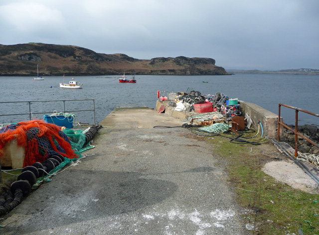
About Portnalong
The village of Portnalong was founded by crofters from Lewis and Harris in 1921. The pier served as a refuelling point for allied shipping during World War II.Situated at the end of the B8009 road to Portnalong, the pier is used by a number of small fishing vessels, as well as servicing nearby fish farms in Loch Harport.
The sailing boat 'Ezra' also operates from the pier, offering three, six, or nine-night skippered sailing holidays.
Return to Area Map