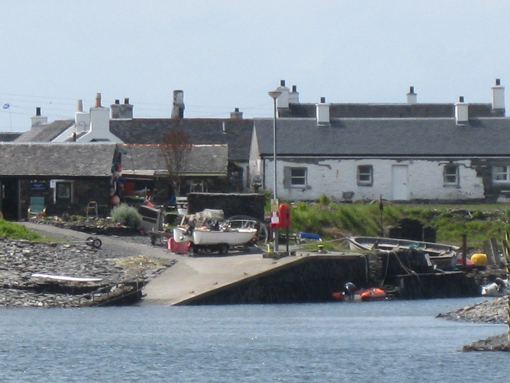
Easdale
Latitude: 56° 17'N
Longitude: 05° 39'W
Country: Scotland
Ownership: Eílean Eísdeal
Type: Private
Usage: Leisure, Fishing, Ferry Terminal
Address: Easdale Island Community Hall, Easdale Island, by Oban, Argyll, Scotland PA34 4TB
Website: www.easdale.org/harbour/index.php
About Easdale
The community of Easdale Island is built around its harbour, whose “B” listed walls were constructed in the eighteenth century around a naturally existing bay.The harbour is a unique example of the architectural and industrial heritage of the area and has played a central role throughout the island’s colourful history. It is also a key feature of island life in terms of practical necessity, allowing safe operation and mooring of the ferry and various utility boats which make life on the island practicable.
Its viability is crucial to the retention of local jobs in the fishing industry and it is also of recreational importance enjoyed by locals, holiday home owners and by visitors. For many people, use of the harbour is an important factor which has led to residence or property ownership on the island.
Unfortunately, the harbour has suffered from years of neglect and substantial funding is required to meaningfully restore it.
The Eílean Eísdeal Trust has recently secured a fifty-year lease of the harbour area from the island’s owner as a first step towards realising this goal, which is fundamental to the very sustainability of the community of Easdale Island.
Plans to secure funding for the harbour restoration scheme are currently being pursued. It is a complex project and progress is envisaged to occur in the form of sequential phases, each one being a step towards the overall goal. The first of these, following consultation with harbour users and our Marine Consultant, is to implement a series of small scale improvements. These aim to ease the short term problems of harbour use for islanders, halt further decline in the fabric of these historic harbour walls and will include investigative work upon which further plans can be assessed, dredging in key areas and provision of pontoons to accommodate small utility craft and dinghies.
Return to Area Map


