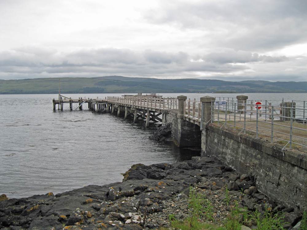
Salen (Mull)
Latitude: 56° 31'N
Longitude: 05° 56'W
Country: Scotland
Ownership: Peter and Susanne Stanhope
Type: Private
Usage: Leisure
Contact name: Peter & Susanne Stanhope
Address: Salen Pier House, Salen, Isle of Mull, PA72 6JL
Telephone no: 01259 760611 or 07778 514150
E-mail: salen.pierhouse@gmail.com
Website: www.salenpierhouse.co.uk/...uction.htm
About Salen (Mull)
From the 1850s until superseded by the Craignure pier in the 1960s, Salen was served by steamers from Oban. Between 1905 and 1955 MacBrayne’s MV Lochinvar sailed every morning (except Sunday) from Tobermory for Oban, calling at Salen, Lochaline and Craignure. There was no pier at Craignure, so the vessel stood off shore while a launch came out to meet her and exchange passengers and cargo. In the afternoon, the Lochinvar retraced her steps back to Tobermory via the same calls.Effectively, therefore, Salen was the nearest pier on Mull to Oban. Goods for the south of Mull would disembark here. These included one or two cars, which were craned aboard the tiny vessel.
The daily run between Oban and Tobermory was abandoned in 1964 when the new pier was built at Craignure and a car ferry introduced. This rendered Salen Pier redundant. While it still stands, the new owners since 2007 have been refurbishing it to its original condition.
The village of Salen was developed in the early part of the 19th Century as a project for Lachlan MacQuarie when he built up his land holding of the "Jarvisfield Estate". Lachlan MacQuarrie was the second Governor General of New South Wales. On his return to Mull he hoped to develop the status of Salen and its pier as the "Port MacQuarie". To this end he encouraged the construction of new stone houses, all built to a standard design, to hasten the development of the area known as the "Great Moss" an extensive marsh that impeded transport to and from the pier.
Return to Area Map


