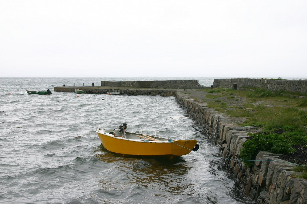
Kircubbin
Latitude: 54° 29'N
Longitude: 05° 32'W
Country: N. Ireland
Type: Unknown
Usage: Leisure, Fishing
About Kircubbin
Coal ships used to come in to the harbour until the 1950s, requiring a deeper channel to be dredged.There is no commercial traffic nowadays, only fishing and leisure craft.
Return to Area Map


