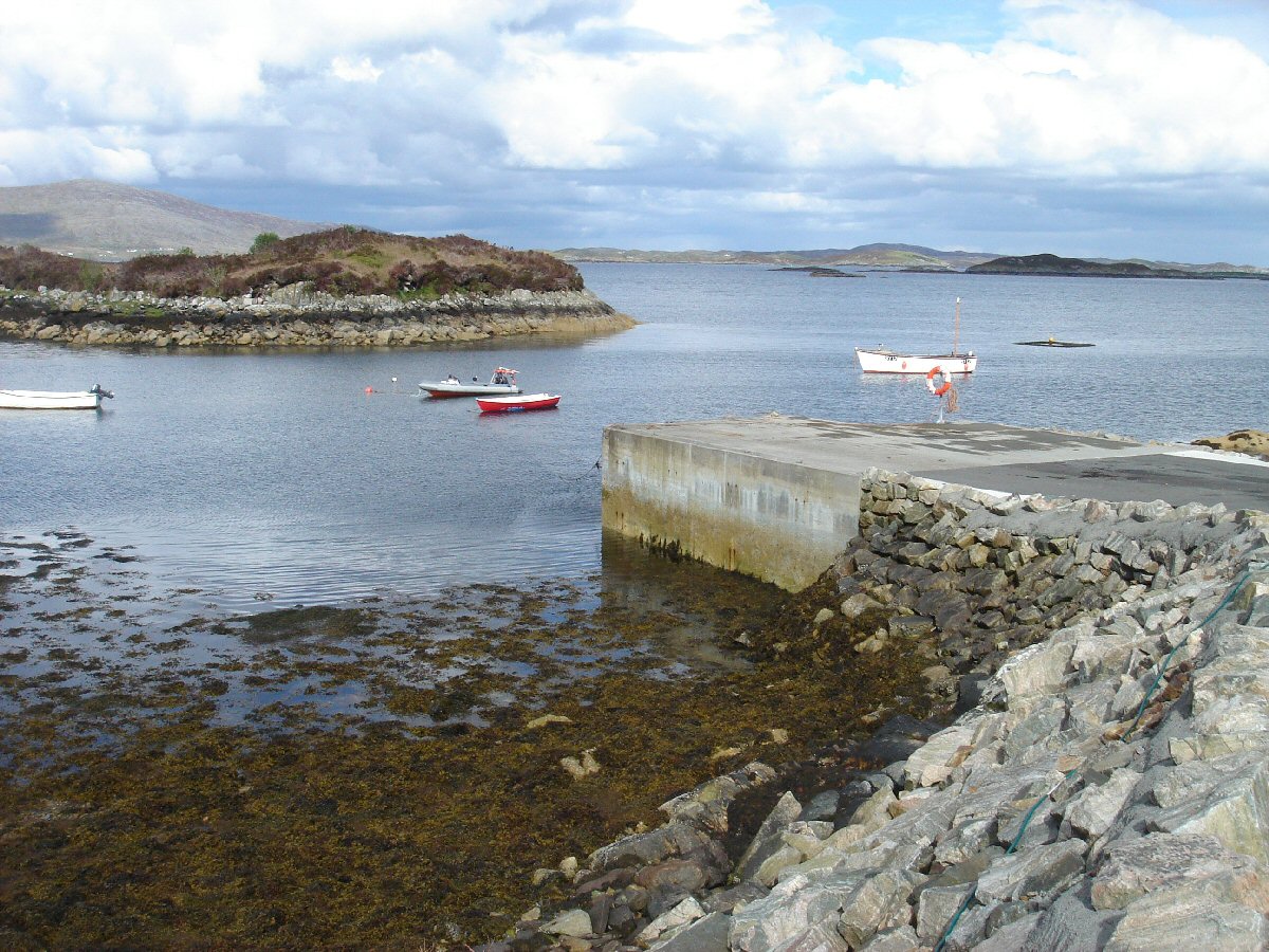
Drinishadar
Latitude: 57° 51'N
Longitude: 06° 46'W
Country: Scotland
Type: Unknown
Usage: Fishing
About Drinishadar
Improvements costing £50,000 have been made recently to the pier, which is used mainly by local fishing boats.Return to Area Map


